Documentation Index

Fetch the complete documentation index at: https://docs.footstep.ai/llms.txt

Use this file to discover all available pages before exploring further.

Compare travel modes
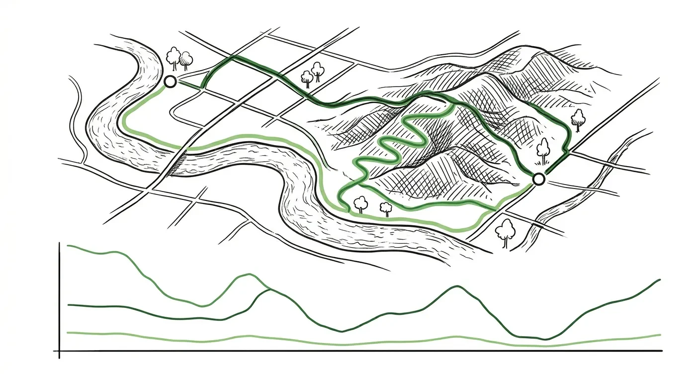
Run the same route with different travel modes and get a side-by-side comparison of distance, duration, and terrain difficulty. Useful for deciding how to travel. Supports comparing 2-4 modes in one call: walking, cycling, driving, bus, and truck.

Example prompts

  • “Should I walk or cycle from Kings Cross to Tower Bridge?”
  • “Compare driving vs cycling from my hotel to the conference centre”
  • “What’s the easiest way to get from A to B - walking, cycling, or driving?”
  • “How much hillier is cycling vs walking between these two points?”

What you get back

A summary per travel mode (distance, duration, terrain analytics) plus a comparison block showing which mode is fastest, shortest, and easiest by terrain. Includes a natural language summary like “Cycling is 3 min faster than walking but has 40m more climbing.” For step-by-step directions on a chosen mode, call get_directions after comparing.

Map rendering

Responses include a render envelope with one linestring layer per mode (style hints carry the mode name and a recommended colour for distinct styling). Pass compact: true for summary-only responses (the comparison block + per-mode totals only). See response defaults & controls and render envelopes.

Example response

{
  "structuredContent": {
    "routes": {
      "auto":      { "distance_meters": 6000, "duration_seconds": 600 },
      "bicycle":   { "distance_meters": 5800, "duration_seconds": 1300 }
    },
    "comparison": { "fastest": "auto", "shortest": "bicycle", "easiest": "auto", "summary": "…" },
    "render": [
      {
        "kind": "linestring",
        "label": "auto route",
        "data": {/* GeoJSON LineString */},
        "bbox": [/* … */],
        "style_hints": { "mode": "auto", "recommended_color": "#1f77b4" }
      },
      {
        "kind": "linestring",
        "label": "bicycle route",
        "data": {/* GeoJSON LineString */},
        "bbox": [/* … */],
        "style_hints": { "mode": "bicycle", "recommended_color": "#ff7f0e" }
      }
    ]
  }
}