Getting started
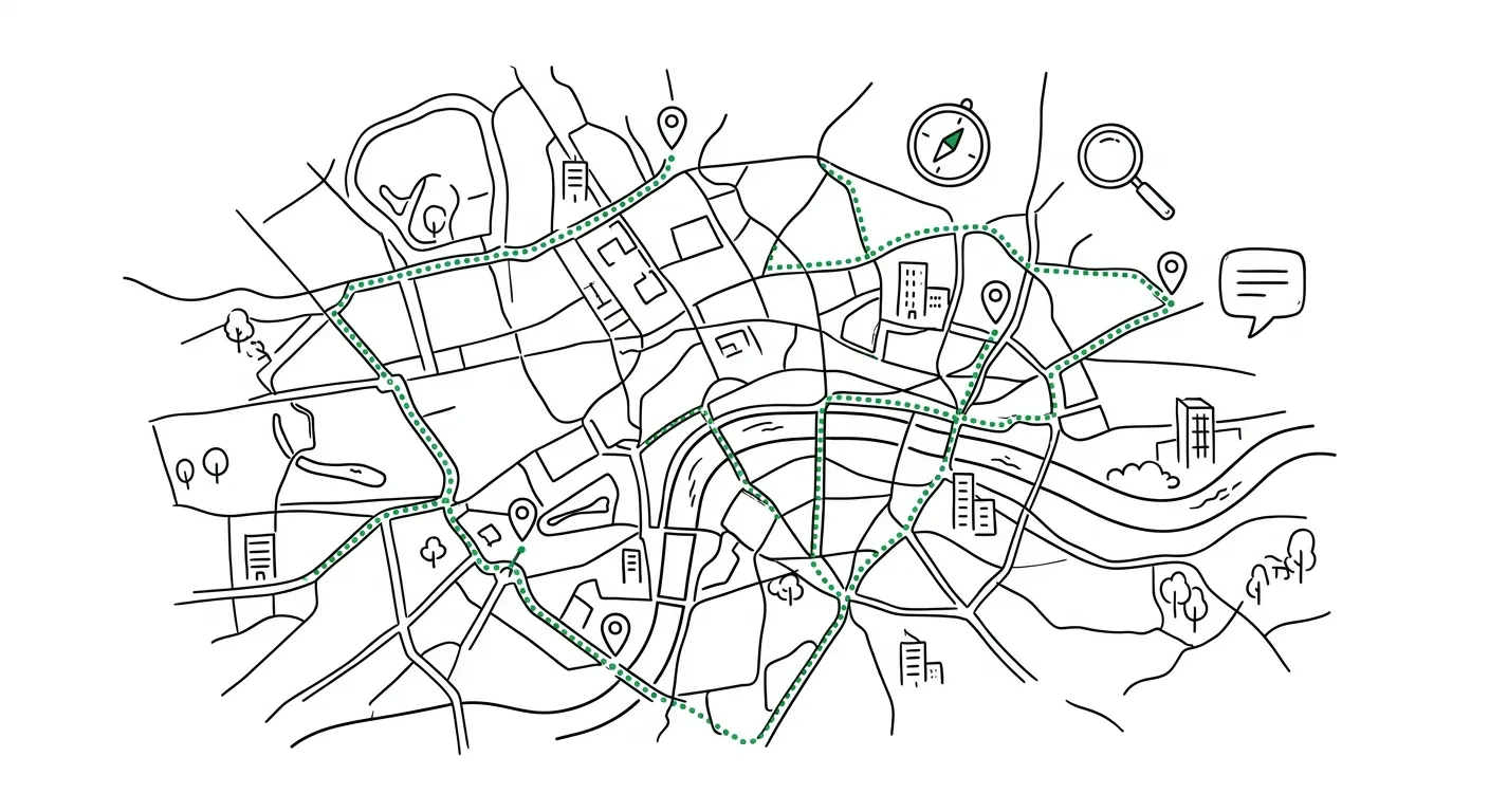
Routing with terrain analytics, geocoding, and spatial prediction.Quickstart
Make your first API call in under a minute.
Authentication
API key setup and security.
Errors
Error codes and retry strategies.
Routing
Directions, optimisation, elevation, and spatial analysis with terrain intelligence built in.Route
Turn-by-turn directions with terrain analytics.
Optimise
Find the best order to visit multiple stops.
Elevation
Query elevation with computed summaries.
Isochrone
Time and distance-based reachability.
Matrix
Time/distance matrices for logistics.
Geocoding
Search for addresses, reverse geocode coordinates, and process address data at scale.Search
Text to coordinates. Any address, place, or landmark.
Reverse
Coordinates to address. Find what’s at a lat/lng.
Autocomplete
Typeahead suggestions as the user types.
Batch
Geocode up to 1,000 addresses in one request.
AI
Natural language queries, address intelligence, and MCP server for AI agents.Query
Natural language to structured geospatial results.
Parse Address
Correct, standardize, and structure messy addresses.
MCP Server
Connect AI agents to Footstep.