> ## Documentation Index
> Fetch the complete documentation index at: https://docs.footstep.ai/llms.txt
> Use this file to discover all available pages before exploring further.
# get_elevation
> Get elevation data for a list of coordinates
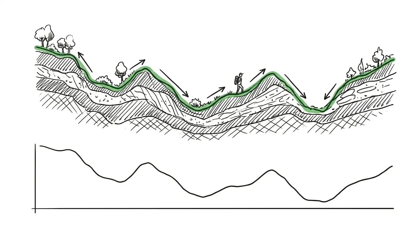 Query elevation values for a set of coordinates or along a path. Returns heights in meters with a computed summary.
Optionally resample the input at a fixed interval for smoother elevation profiles.
## Example prompts
* "What's the elevation at the top of Primrose Hill?"
* "Show me the elevation profile between these two coordinates"
* "How much climbing is there on this path?"
* "Get elevation data for these 10 GPS points"
## What you get back
Elevation values for each input point, plus a summary with `max_elevation_meters`, `min_elevation_meters`, and `avg_elevation_meters`.
### `range: true` for paths
Pass `range: true` when your input is an ordered path (a route, a hike, a GPS trace). The response then carries:
* `range_height` — `[distance_meters, elevation_meters]` tuples for charting an elevation profile.
* `total_ascent_meters` and `total_descent_meters` — cumulative climb and drop along the path. Included only in `range` mode.
Query elevation values for a set of coordinates or along a path. Returns heights in meters with a computed summary.
Optionally resample the input at a fixed interval for smoother elevation profiles.
## Example prompts
* "What's the elevation at the top of Primrose Hill?"
* "Show me the elevation profile between these two coordinates"
* "How much climbing is there on this path?"
* "Get elevation data for these 10 GPS points"
## What you get back
Elevation values for each input point, plus a summary with `max_elevation_meters`, `min_elevation_meters`, and `avg_elevation_meters`.
### `range: true` for paths
Pass `range: true` when your input is an ordered path (a route, a hike, a GPS trace). The response then carries:
* `range_height` — `[distance_meters, elevation_meters]` tuples for charting an elevation profile.
* `total_ascent_meters` and `total_descent_meters` — cumulative climb and drop along the path. Included only in `range` mode.