> ## Documentation Index
> Fetch the complete documentation index at: https://docs.footstep.ai/llms.txt
> Use this file to discover all available pages before exploring further.
# Introduction
> Terrain-intelligent routing and spatial analysis API
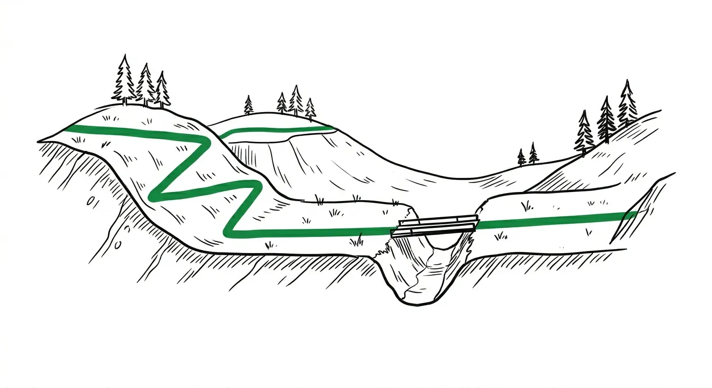 ## Footstep Routing API
The Routing API provides terrain-intelligent routing, elevation queries, and spatial analysis. Every routing response includes terrain analytics by default: ascent, descent, grade profiles, and difficulty classification, without any extra configuration.
### Design philosophy
Every endpoint works with just coordinates. Send locations, get a route with full terrain intelligence:
```json theme={null}
POST /v1/routing/route
{
"locations": [
{ "lat": 51.5322, "lon": -0.1240 },
{ "lat": 51.5055, "lon": -0.0754 }
]
}
```
No transport mode, no options, no configuration required. The defaults give you a car route with terrain analytics, turn-by-turn directions, and an elevation profile.
Power users can tune behaviour with optional parameters: `travel` to change how you travel, `travel_options` for fine-tuning preferences (hill avoidance, walking speed, vehicle dimensions), `elevation_interval` to control elevation sampling density, and `language` for localised navigation instructions.
### Units
Numeric fields are always in SI base units regardless of the `units` request parameter — distances in meters, durations in seconds, elevations in meters, grades as a percentage, speeds in km/h. The `units` request parameter only affects the natural-language `narrative` summary; the response echoes that value back in `narrative_units` for reference.
### Endpoints
All endpoints are `POST` requests under `/v1/routing/`:
| Endpoint | Description |
| -------------------------------------------- | -------------------------------------------------------------------------- |
| [`POST /route`](/api/endpoint/route) | Route between locations with terrain analytics and turn-by-turn directions |
| [`POST /optimize`](/api/endpoint/optimize) | Find the best order to visit multiple stops |
| [`POST /snap`](/api/endpoint/snap) | Map-match GPS traces to the road network |
| [`POST /elevation`](/api/endpoint/elevation) | Elevation queries with computed summary statistics |
| [`POST /isochrone`](/api/endpoint/isochrone) | Time or distance-based reachability polygons |
| [`POST /matrix`](/api/endpoint/matrix) | Time/distance matrices for logistics and dispatching |
| [`POST /locate`](/api/endpoint/locate) | Snap coordinates to the nearest road with metadata |
### Authentication
All endpoints require an API key passed via the `x-api-key` header. See the [authentication guide](/authentication) for details on key format, states, and security practices.
```bash theme={null}
curl -X POST https://api.footstep.ai/v1/routing/route \
-H "x-api-key: sk_live_your_key_here" \
-H "Content-Type: application/json" \
-d '{"locations": [{"lat": 51.5322, "lon": -0.1240}, {"lat": 51.5055, "lon": -0.0754}]}'
```
### Travel types
All routing endpoints accept a `travel` parameter:
| Travel | Description |
| ------------ | ------------------------------------------------------------------------------------------------------ |
| `auto` | Car routing (default). Respects one-way streets, turn restrictions, and road hierarchy |
| `pedestrian` | Walking and hiking. Factors in terrain grade, avoids motorways, supports SAC hiking difficulty scale |
| `bicycle` | Cycling. Considers surface type, hill gradients. Supports road, hybrid, cross, and mountain bike types |
| `bus` | Bus routing. Similar to auto with bus-specific road access |
| `truck` | Truck routing. Respects vehicle height, width, weight, and axle load restrictions |
Each travel type has its own `travel_options` for fine-tuning. For example, `pedestrian` supports `use_hills` (0 = avoid hills, 1 = prefer hills), `walking_speed` (0.5-25 km/h), and `max_hiking_difficulty` (0-6, SAC hiking scale). See the [route endpoint](/api/endpoint/route) for the full schema.
### Multi-format support
Every endpoint accepts a `format` parameter:
| Format | Content-Type | Best for |
| -------------------- | ---------------------- | ------------------------------------------------------------------------------- |
| `footstep` (default) | `application/json` | App developers. Compact encoded polyline geometry, flat structure, optimised DX |
| `geojson` | `application/geo+json` | GIS tools. Standard GeoJSON FeatureCollection with decoded coordinates |
GeoJSON responses work directly with Leaflet, Mapbox GL, deck.gl, and QGIS with no transformation needed.
```json theme={null}
{
"locations": [...],
"format": "geojson"
}
```
### Terrain analytics
Routing responses include a `terrain` object at both the route and per-leg level:
```json theme={null}
{
"terrain": {
"total_ascent_meters": 12.4,
"total_descent_meters": 8.1,
"max_elevation_meters": 28,
"min_elevation_meters": 5,
"avg_grade_percent": 1.2,
"max_grade_percent": 4.5,
"elevation_profile": [
{ "distance_meters": 0, "elevation_meters": 22 },
{ "distance_meters": 30, "elevation_meters": 20 }
],
"difficulty": "flat"
}
}
```
The `elevation_profile` is an array of distance/elevation points sampled along the route. Control the sampling interval with the `elevation_interval` parameter (10-200 meters, default 30).
The `difficulty` classification is based on average and maximum grade:
| Difficulty | Average grade | Maximum grade |
| ------------- | ------------- | ------------- |
| `flat` | \< 2% | \< 5% |
| `rolling` | \< 4% | \< 8% |
| `hilly` | \< 6% | \< 15% |
| `mountainous` | >= 6% | >= 15% |
### Route flags
Every route and leg includes a `flags` object indicating infrastructure used:
```json theme={null}
{
"flags": {
"has_toll": false,
"has_highway": true,
"has_ferry": false
}
}
```
Use these to inform users about tolls, filter routes, or display warnings in your UI.
### Route narratives
Pass `narrative: true` to get an AI-generated natural language summary of the route. Useful for accessibility descriptions, trip previews, and chatbot integrations.
```json theme={null}
{
"locations": [
{ "lat": 51.5322, "lon": -0.1240 },
{ "lat": 51.5055, "lon": -0.0754 }
],
"narrative": true
}
```
The response includes a `narrative` field on the route object:
```json theme={null}
{
"route": {
"narrative": "A 5.8km drive south through central London, about 14 minutes. Head south from King's Cross through Clerkenwell, then east along the river to Tower Bridge. Mostly flat with 12m total ascent. No tolls or motorways."
}
}
```
This parameter is available on the [route](/api/endpoint/route) and [optimise](/api/endpoint/optimize) endpoints. Adds \~500ms latency due to AI generation.
## Footstep Routing API
The Routing API provides terrain-intelligent routing, elevation queries, and spatial analysis. Every routing response includes terrain analytics by default: ascent, descent, grade profiles, and difficulty classification, without any extra configuration.
### Design philosophy
Every endpoint works with just coordinates. Send locations, get a route with full terrain intelligence:
```json theme={null}
POST /v1/routing/route
{
"locations": [
{ "lat": 51.5322, "lon": -0.1240 },
{ "lat": 51.5055, "lon": -0.0754 }
]
}
```
No transport mode, no options, no configuration required. The defaults give you a car route with terrain analytics, turn-by-turn directions, and an elevation profile.
Power users can tune behaviour with optional parameters: `travel` to change how you travel, `travel_options` for fine-tuning preferences (hill avoidance, walking speed, vehicle dimensions), `elevation_interval` to control elevation sampling density, and `language` for localised navigation instructions.
### Units
Numeric fields are always in SI base units regardless of the `units` request parameter — distances in meters, durations in seconds, elevations in meters, grades as a percentage, speeds in km/h. The `units` request parameter only affects the natural-language `narrative` summary; the response echoes that value back in `narrative_units` for reference.
### Endpoints
All endpoints are `POST` requests under `/v1/routing/`:
| Endpoint | Description |
| -------------------------------------------- | -------------------------------------------------------------------------- |
| [`POST /route`](/api/endpoint/route) | Route between locations with terrain analytics and turn-by-turn directions |
| [`POST /optimize`](/api/endpoint/optimize) | Find the best order to visit multiple stops |
| [`POST /snap`](/api/endpoint/snap) | Map-match GPS traces to the road network |
| [`POST /elevation`](/api/endpoint/elevation) | Elevation queries with computed summary statistics |
| [`POST /isochrone`](/api/endpoint/isochrone) | Time or distance-based reachability polygons |
| [`POST /matrix`](/api/endpoint/matrix) | Time/distance matrices for logistics and dispatching |
| [`POST /locate`](/api/endpoint/locate) | Snap coordinates to the nearest road with metadata |
### Authentication
All endpoints require an API key passed via the `x-api-key` header. See the [authentication guide](/authentication) for details on key format, states, and security practices.
```bash theme={null}
curl -X POST https://api.footstep.ai/v1/routing/route \
-H "x-api-key: sk_live_your_key_here" \
-H "Content-Type: application/json" \
-d '{"locations": [{"lat": 51.5322, "lon": -0.1240}, {"lat": 51.5055, "lon": -0.0754}]}'
```
### Travel types
All routing endpoints accept a `travel` parameter:
| Travel | Description |
| ------------ | ------------------------------------------------------------------------------------------------------ |
| `auto` | Car routing (default). Respects one-way streets, turn restrictions, and road hierarchy |
| `pedestrian` | Walking and hiking. Factors in terrain grade, avoids motorways, supports SAC hiking difficulty scale |
| `bicycle` | Cycling. Considers surface type, hill gradients. Supports road, hybrid, cross, and mountain bike types |
| `bus` | Bus routing. Similar to auto with bus-specific road access |
| `truck` | Truck routing. Respects vehicle height, width, weight, and axle load restrictions |
Each travel type has its own `travel_options` for fine-tuning. For example, `pedestrian` supports `use_hills` (0 = avoid hills, 1 = prefer hills), `walking_speed` (0.5-25 km/h), and `max_hiking_difficulty` (0-6, SAC hiking scale). See the [route endpoint](/api/endpoint/route) for the full schema.
### Multi-format support
Every endpoint accepts a `format` parameter:
| Format | Content-Type | Best for |
| -------------------- | ---------------------- | ------------------------------------------------------------------------------- |
| `footstep` (default) | `application/json` | App developers. Compact encoded polyline geometry, flat structure, optimised DX |
| `geojson` | `application/geo+json` | GIS tools. Standard GeoJSON FeatureCollection with decoded coordinates |
GeoJSON responses work directly with Leaflet, Mapbox GL, deck.gl, and QGIS with no transformation needed.
```json theme={null}
{
"locations": [...],
"format": "geojson"
}
```
### Terrain analytics
Routing responses include a `terrain` object at both the route and per-leg level:
```json theme={null}
{
"terrain": {
"total_ascent_meters": 12.4,
"total_descent_meters": 8.1,
"max_elevation_meters": 28,
"min_elevation_meters": 5,
"avg_grade_percent": 1.2,
"max_grade_percent": 4.5,
"elevation_profile": [
{ "distance_meters": 0, "elevation_meters": 22 },
{ "distance_meters": 30, "elevation_meters": 20 }
],
"difficulty": "flat"
}
}
```
The `elevation_profile` is an array of distance/elevation points sampled along the route. Control the sampling interval with the `elevation_interval` parameter (10-200 meters, default 30).
The `difficulty` classification is based on average and maximum grade:
| Difficulty | Average grade | Maximum grade |
| ------------- | ------------- | ------------- |
| `flat` | \< 2% | \< 5% |
| `rolling` | \< 4% | \< 8% |
| `hilly` | \< 6% | \< 15% |
| `mountainous` | >= 6% | >= 15% |
### Route flags
Every route and leg includes a `flags` object indicating infrastructure used:
```json theme={null}
{
"flags": {
"has_toll": false,
"has_highway": true,
"has_ferry": false
}
}
```
Use these to inform users about tolls, filter routes, or display warnings in your UI.
### Route narratives
Pass `narrative: true` to get an AI-generated natural language summary of the route. Useful for accessibility descriptions, trip previews, and chatbot integrations.
```json theme={null}
{
"locations": [
{ "lat": 51.5322, "lon": -0.1240 },
{ "lat": 51.5055, "lon": -0.0754 }
],
"narrative": true
}
```
The response includes a `narrative` field on the route object:
```json theme={null}
{
"route": {
"narrative": "A 5.8km drive south through central London, about 14 minutes. Head south from King's Cross through Clerkenwell, then east along the river to Tower Bridge. Mostly flat with 12m total ascent. No tolls or motorways."
}
}
```
This parameter is available on the [route](/api/endpoint/route) and [optimise](/api/endpoint/optimize) endpoints. Adds \~500ms latency due to AI generation.